Current Capabilities
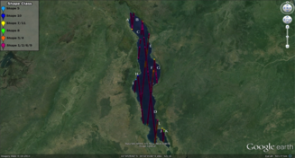
LRM Tracks: exemplar Lake Malawi
- Rift valley lake: substantive terrain variation in surrounding area: good target for prior altimeter missions.
- Good validation time series from Jason2, therefore identified as CRUCIAL validation test target for height retrieval prior to involvement of river modellers.
- LRM tracks (Fig. 12) put through expert system tuned for Cryosat-2 LRM waveform shape recognition.
- High proportion of complex (land/water) multi-target echoes, often associated with snagging on bright targets.
- Analysis shows very high proportion of complex echoes, multi-target responses, in addition to problems/complexities resembling those from ‘ocean mode’ altimeters.
- Cryosat2 not returning data over much rough terrain.
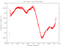
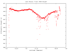
Figure 14. Lake height for tracks D (upper) and E (lower). Along track variation is the geoid.
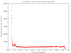
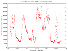
Figure 15. Power amplitude for tracks D (upper) and E (lower).
