Current Capabilities
SAR Tracks: exemplar Amazon Basin
- 3.5 month of SAR L1B data categorised using waveform shape with water echoes selected using a river mask (e.g. Figure 5).
- Shape identification gives geographic distribution of water-waveforms and complex echo shapes with water components.
- Study Track A (Fig. 6): Waveform power (Fig.8) with many echoes identified as water echoes similar to ocean class SAR returns (e.g. Fig. 9) . Large water extent with no discernable interruptions to water flow. Individual waveforms plotted, with green line showing OCOG medium retrack point (to assess whether simple retracking gives a reasonable outcome)
- Study Track D (Fig. 7) Brightest echoes often complex shapes, multi-target responses (Fig. 10). Combination of ‘simple’ quasi-specular returns and complex multi-target echoes (e.g. Fig. 11). These multi-peak echoes more numerous than from previous altimeters.
- Results being used to enhance waveform parameterisation in order to weight waveform shapes in height calculation.
- Expert system being constructed to carry out these tests and produce weighted height estimates after excluding certain waveform classes. Datasets will be compared with Jason2 time series.

Figure 8: Waveforms power: Track A (left)
Figure 9: Representative waveforms:
Figure 9: Representative waveforms:

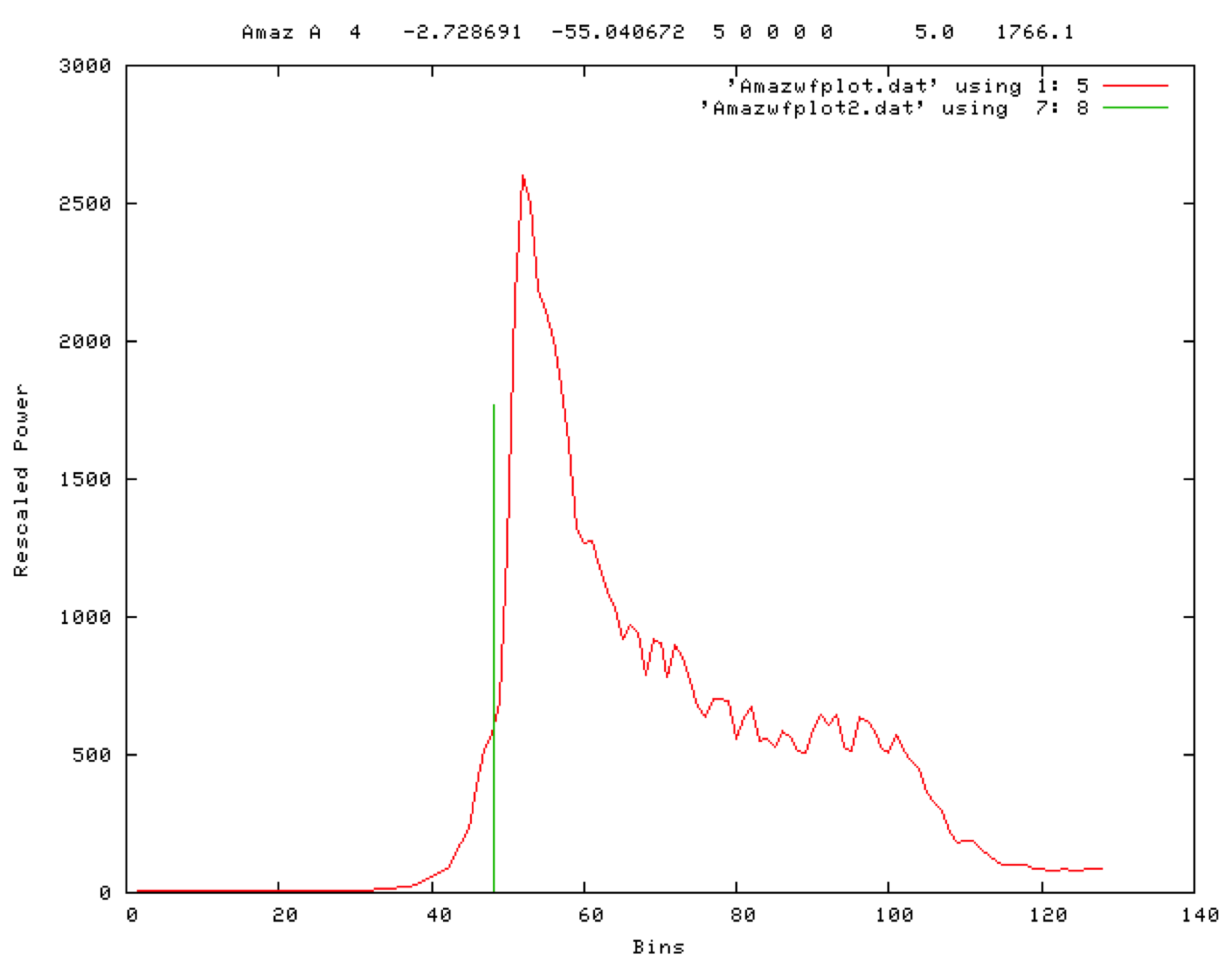
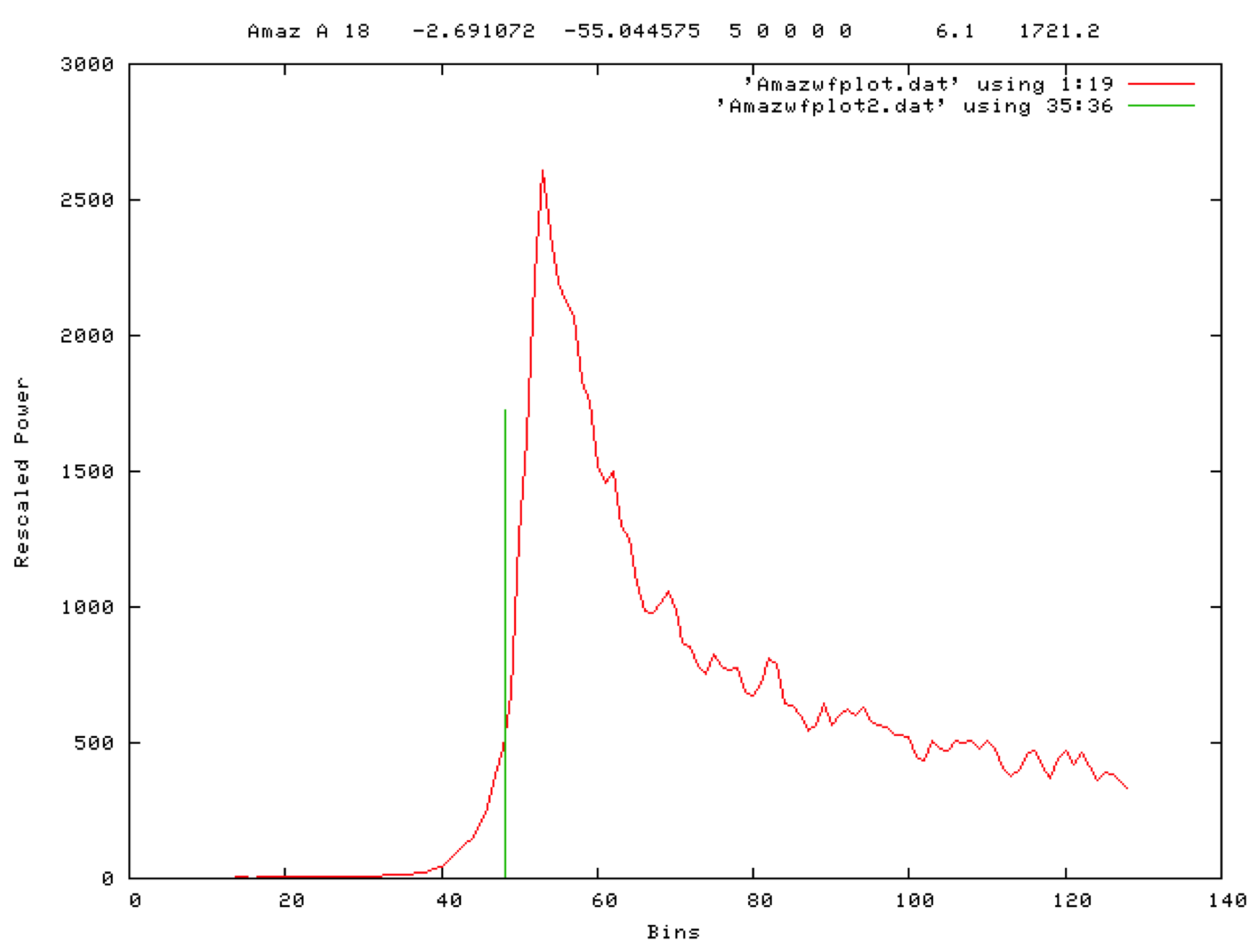
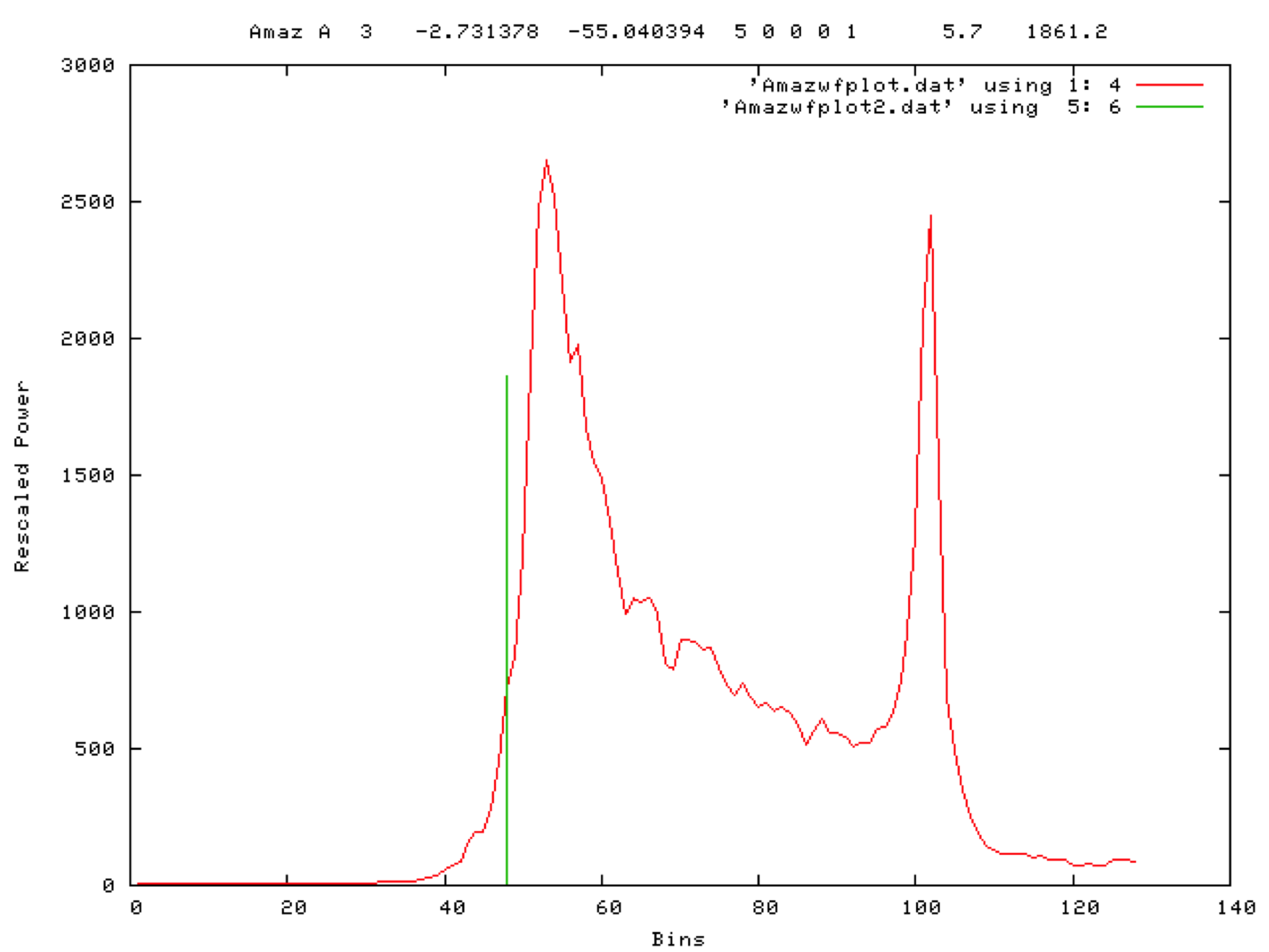
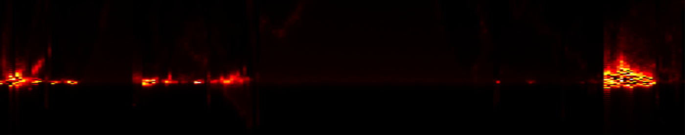
Figure 10: Waveforms power: Track D (left)
Figure 11: Representative waveforms:
Figure 11: Representative waveforms:

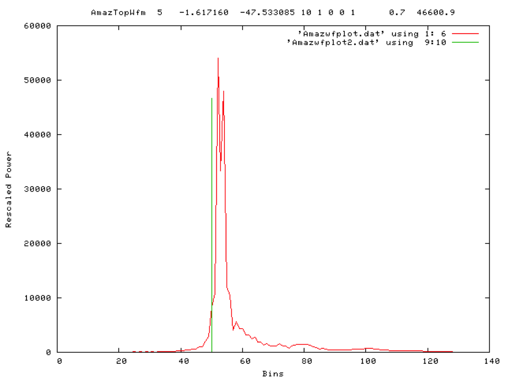
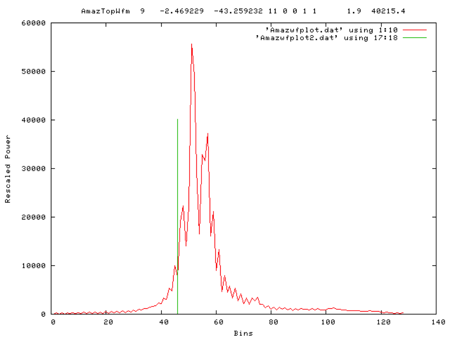
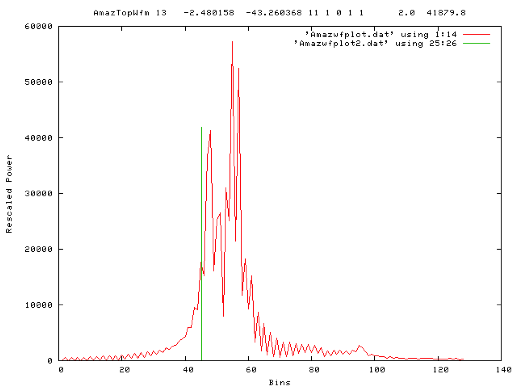
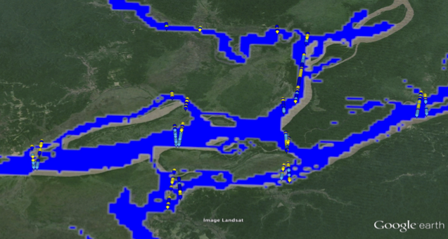
Figure 5. Snippet of the amazon mask.

Figure 6. Amazon tributary (track A)
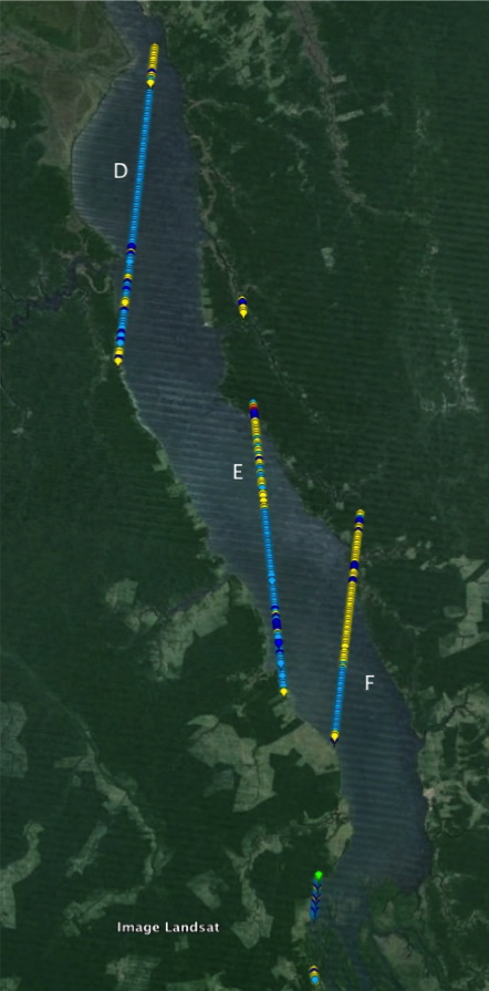
Figure 7. Amazon tributary (track D)